- Location and arrival
- The desert island
- The coast
- The Barrancos
- Der south
- The equipment
- Conclusion
- Download map of Heligoland
Fuerteventura is one of the seven main islands of the Canary Islands in the Atlantic Ocean. The second-largest island of the Canaries is
approximately 100 km long and about 30 km wide. With around 127,000 inhabitants, the island is well populated, and most of it is developed.

For better orientation, I have marked the island's location on the overview map (for more details, please click on
the map on the left). Fuerteventura can be reached by plane from Düsseldorf in about 4.5 hours, landing at the international airport south
of the city of Puerto del Rosario on the east coast.
At the airport, it is best to continue your journey with a rental car. The road network on Fuerteventura is well developed, and since more
than two million tourists visit the island each year, there are plenty of accommodation options. To stay flexible, it is recommended to
choose accommodation in a central location.
(back to top)
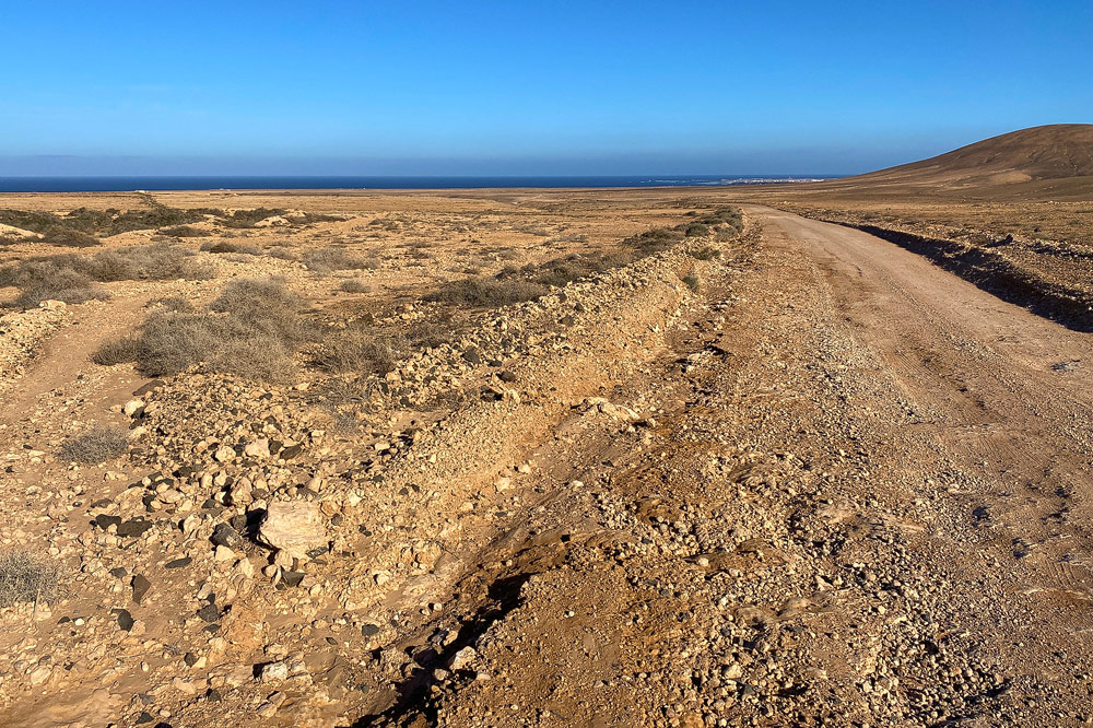
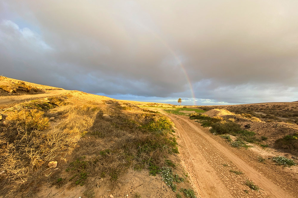
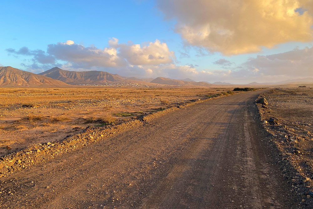
Fuerteventura is a very dry island, and in many places in the island's interior, you actually get the impression of being in the middle
of a desertthough in this case, it consists of hard soil, stones, and rubble. Equally characteristic are the long, white sandy beaches
found along many of the island's coasts. Fuerteventura has a warm climate year-round, often accompanied by strong winds. Incidentally, the
name Fuerteventura literally translates to "strong wind," which often proves to be quite fitting.

A hotspot for bird photography and birdwatching is the area around Tindaya
(see map).
The area is named after Montaña Tindaya (Sacred Mountain). This mountain is a protected natural monument and may not be entered. The landscape around Tindaya is a very barren region, resembling a vast rocky desert.
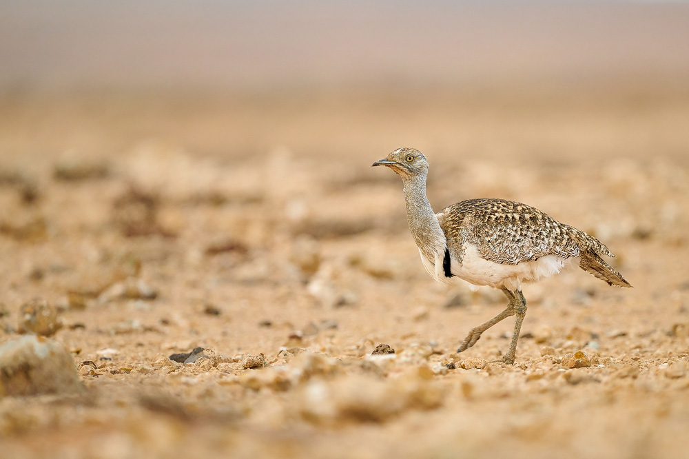
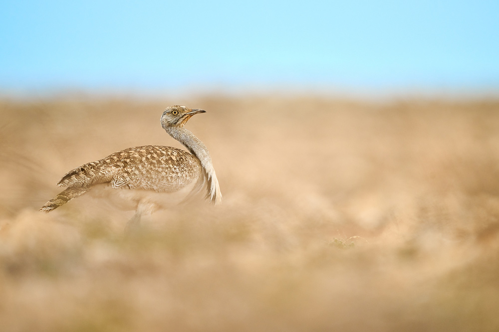
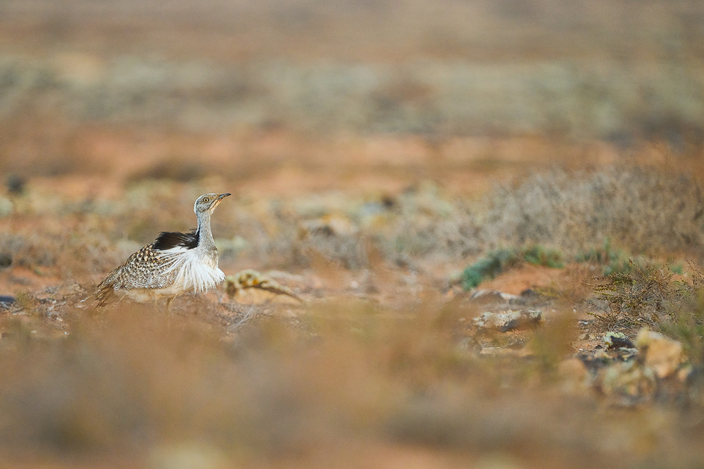
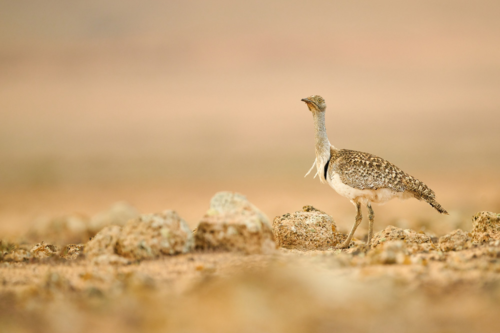
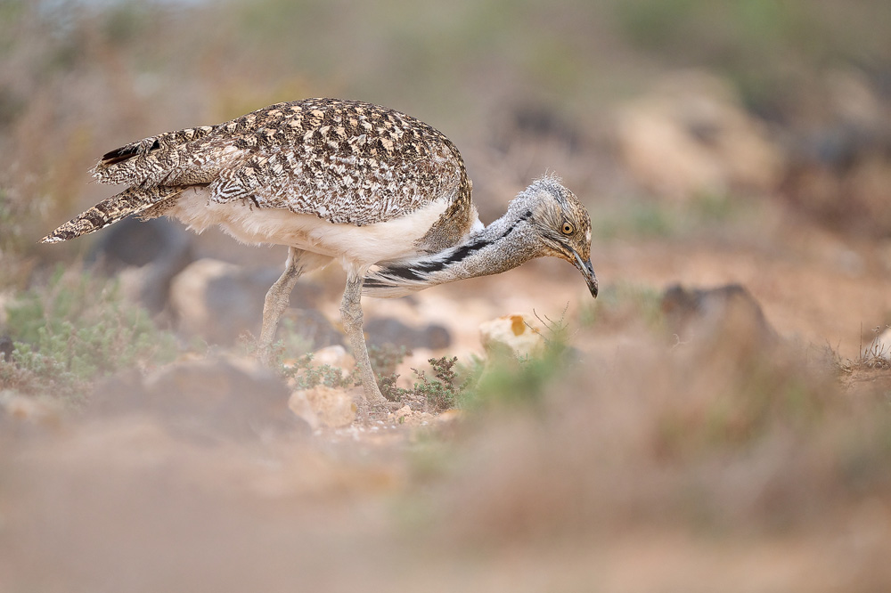
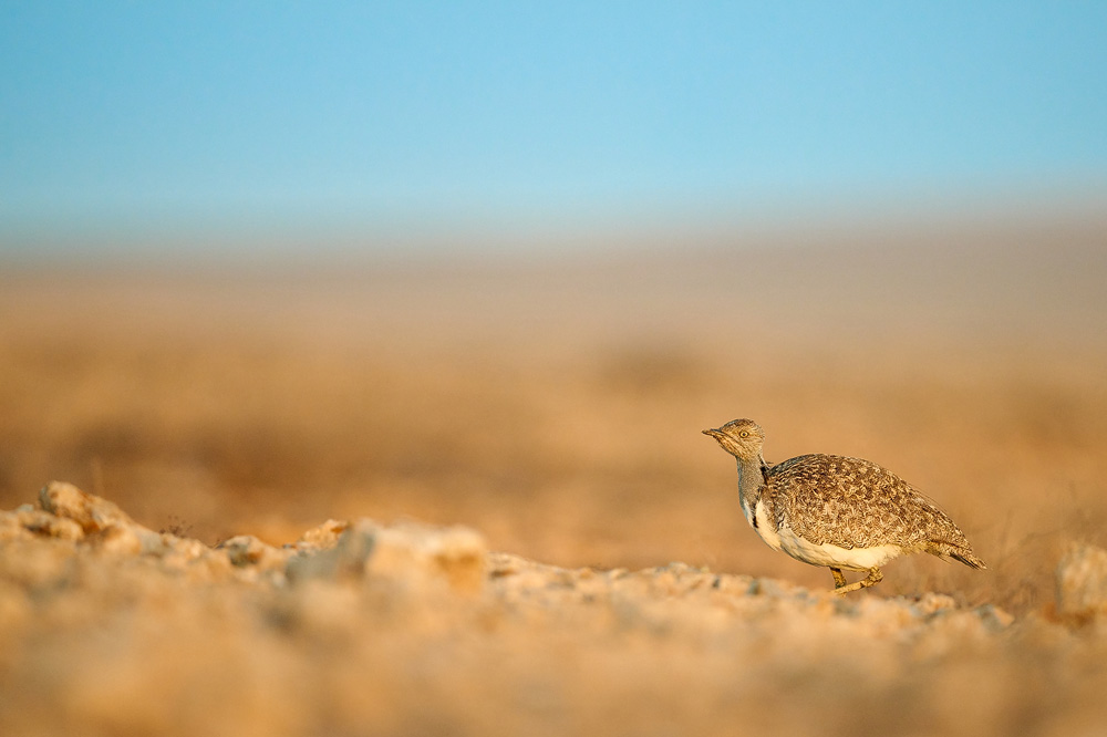
A population of Houbara bustards lives in the area around Montaña Tindaya. The Houbara bustard is globally endangered, and Fuerteventura
still provides important habitats for this species. Conservation programs for the bustard exist on the island, which is why visitors must
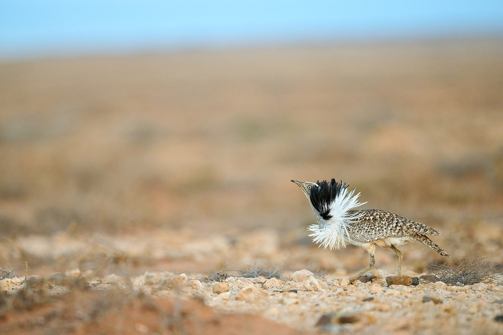
stay on official paths. However, if you spend a longer time in the area, chances of encountering a Houbara bustard are quite good. Even
when the bustards are near accessible roads, spotting them is often challenging, as their plumage allows them to blend perfectly into the
landscape. Observation becomes easier when the bustards are moving or running back and forth, which is especially common during courtship displays.
(back to the top)

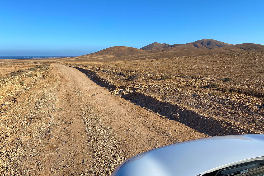
In the Tindaya area, you can drive along certain designated
roads
and hope to spot wildlife along the way. Getting out of the car is no problem, but as mentioned before, leaving the paths is not allowed.
A small SUV can be helpful as a rental car, though it is not absolutely necessary. The roads are paved, but there are some larger potholes
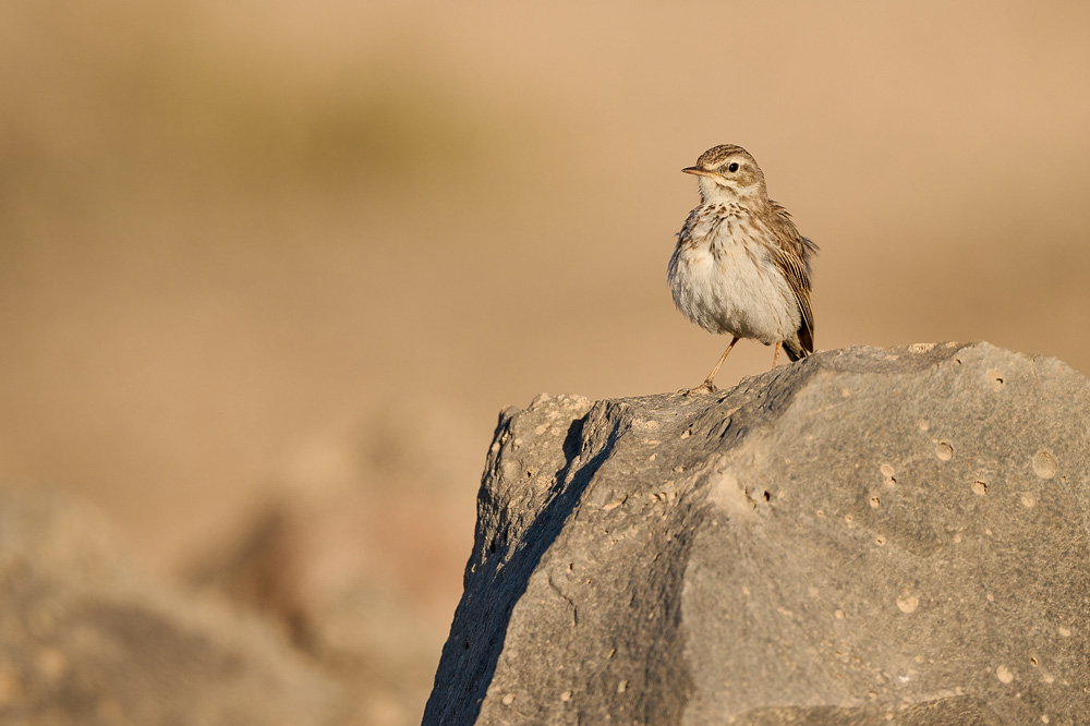
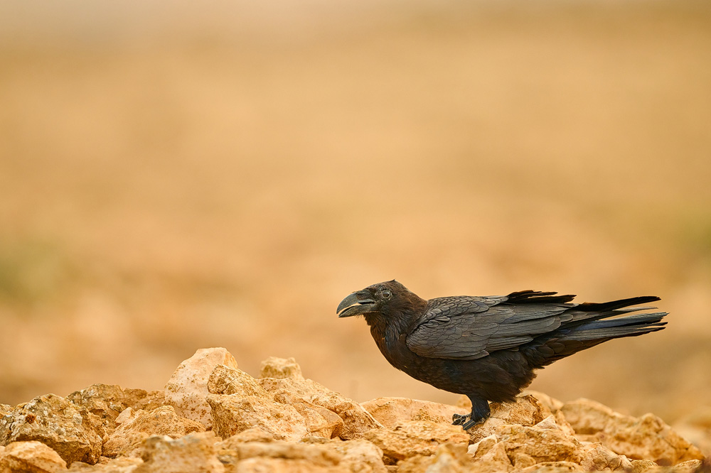
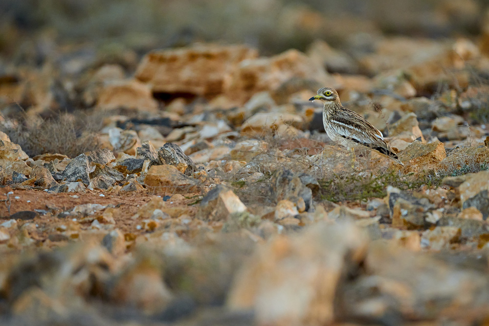
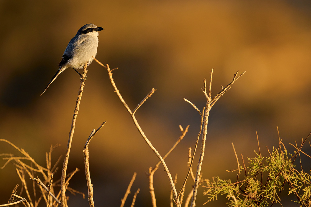
and uneven sections along the route. Besides the Houbara bustards, many other species can be encountered in this area. Notably, great grey
shrikes, Berthelots pipits, common ravens, stone-curlews, and trumpeter finches can often be seen in this region.
(back to the top)
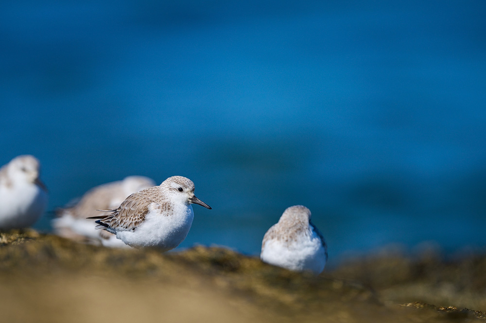
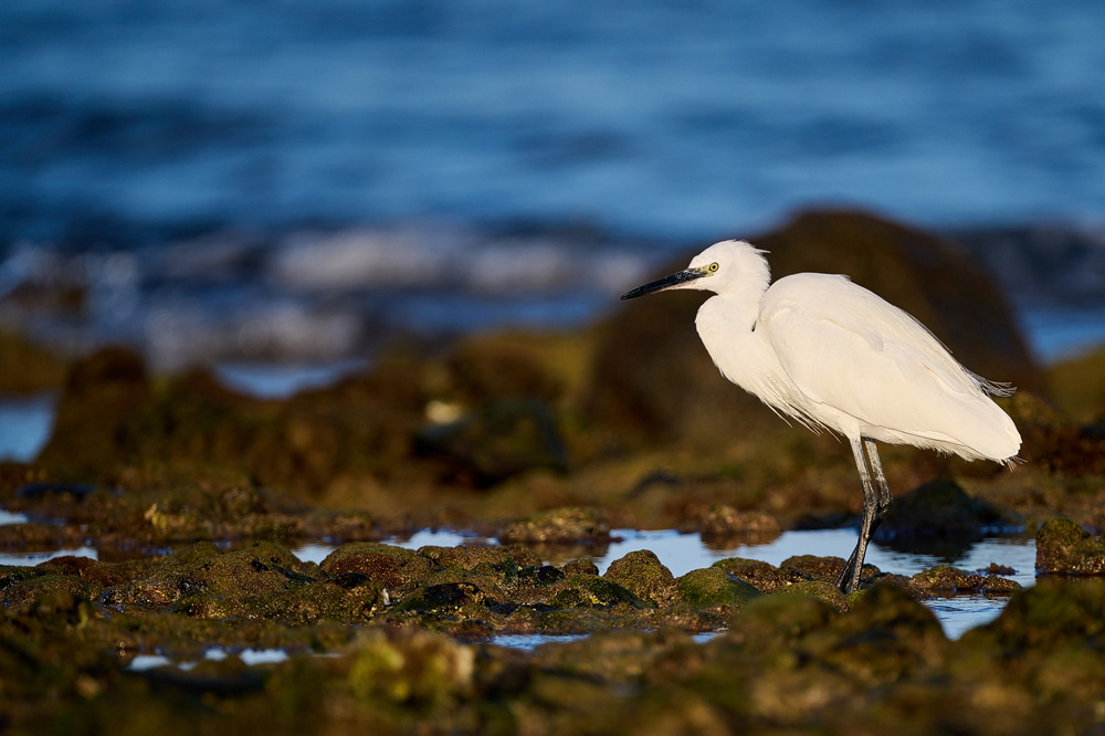
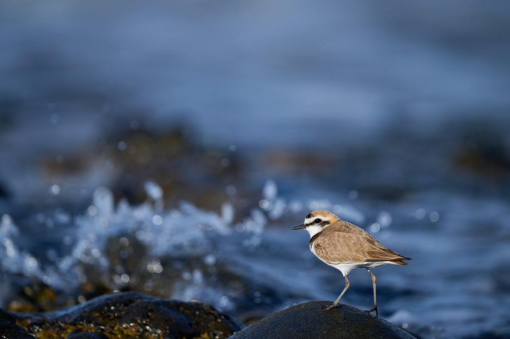
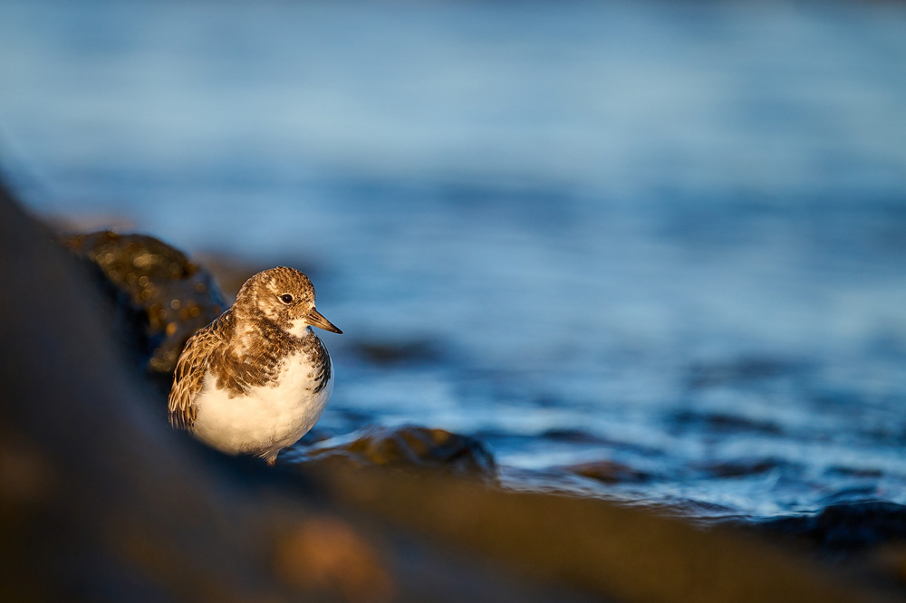
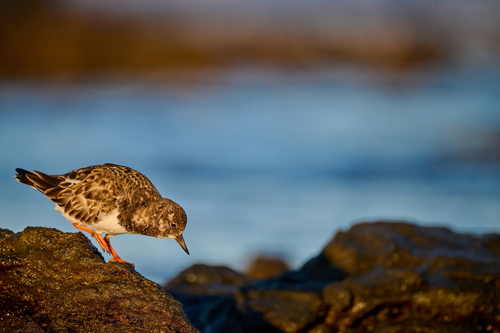
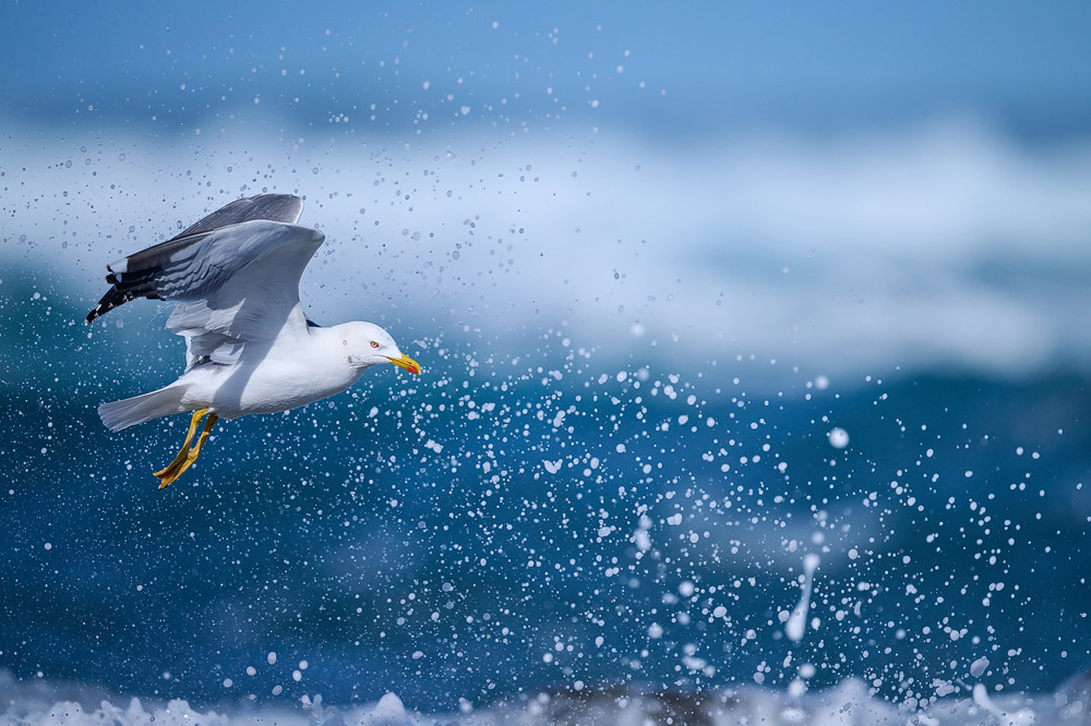
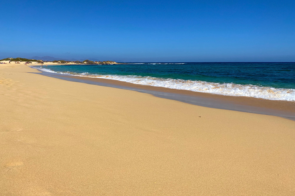
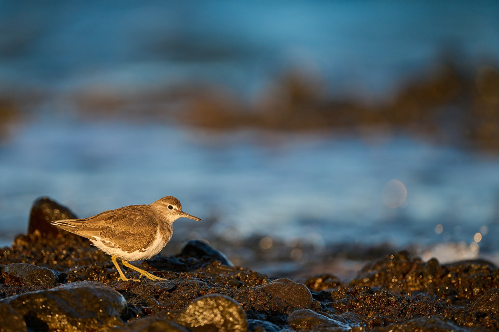
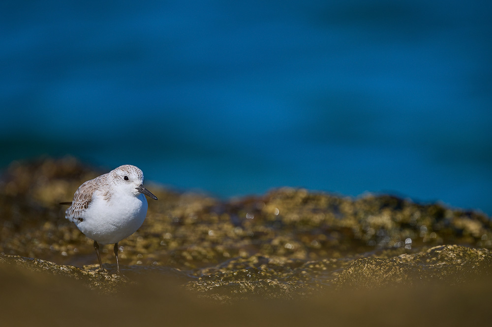
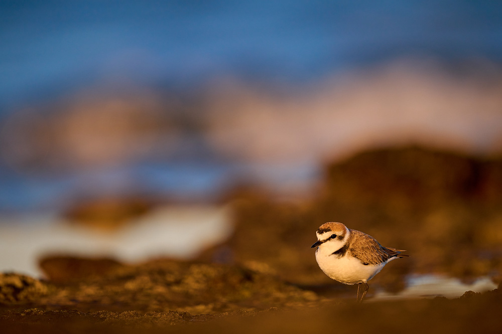
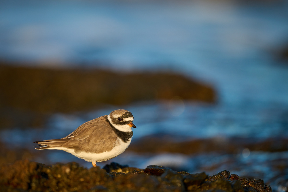
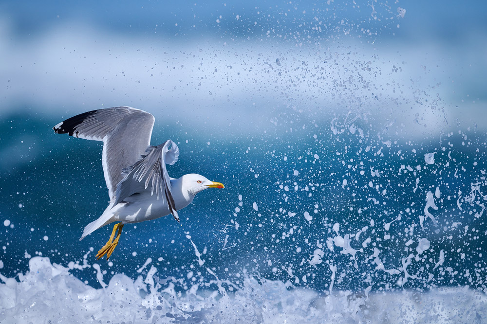
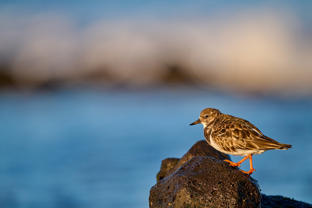
Fuerteventura has very diverse coastal areas. On one hand, there are kilometer-long sandy beaches
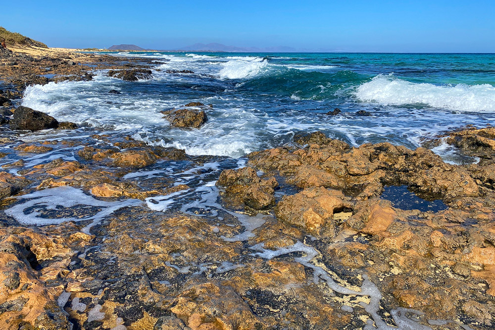
that are more suited for swimming and relaxing, but offer few opportunities for bird photography. In addition to the sandy beaches, however, there are also many
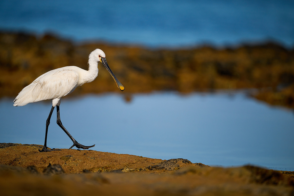
rocky coasts, that provide a food source for numerous wading birds.

Basically, it doesn't really matter which section of the coast you choose to try your luck. Therefore, Ill mention just two rocky
coastal areas here as examples. One is located in the north near Los Lagos around the lighthouse (
see map),
and the other is in the east near the airport, in the town of Castillo Caleta de Fuste, close to the salt pans (
see map).
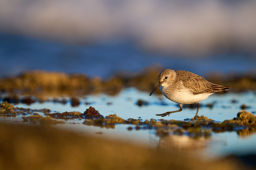
By the way, the salt pans along the coast of Caleta de Fuste are not particularly suitable for photographing wading birds, as the background there simply
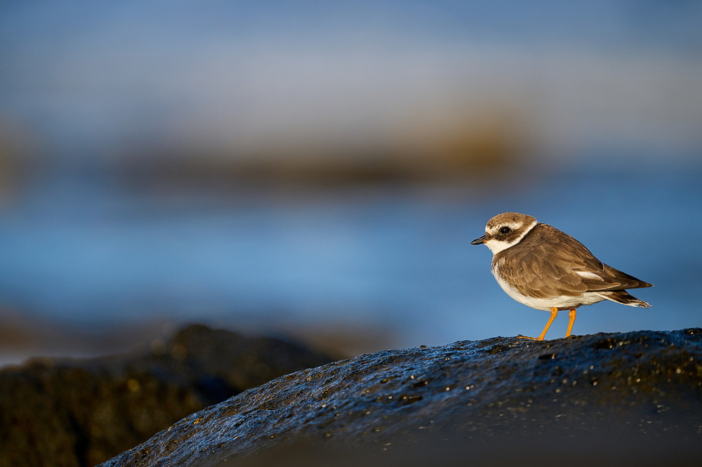
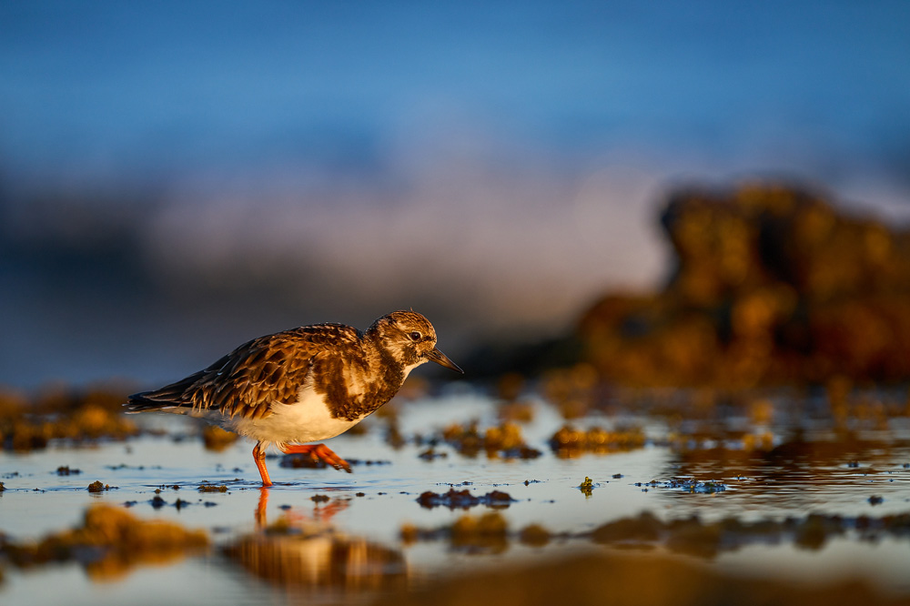
doesn't offer much. Directly along the coast, you are likely to encounter the following wader species: Dunlin, Eurasian Whimbrel, Common Sandpiper, Little Ringed Plover,
Greenshank, Grey Plover, Ringed Plover, Kentish Plover, Ruddy Turnstone, and Sanderling.

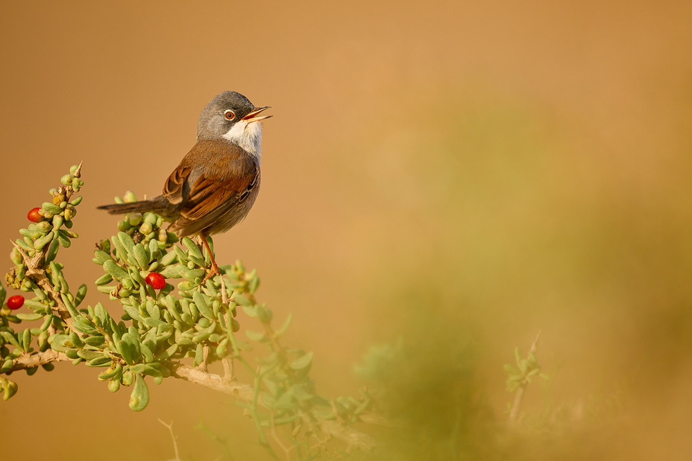
On the way to the coastal section north of Los Lagos described above, it's definitely worth keeping an eye out for songbirds along the
roadside. In the shrubs or on small rocks, you may come across Meadow Pipits, Spectacled Warblers, or Great Grey Shrikes. Since traffic toward the lighthouse is
very light, you can drive this stretch in a relaxed and leisurely manner.
(back to the top)

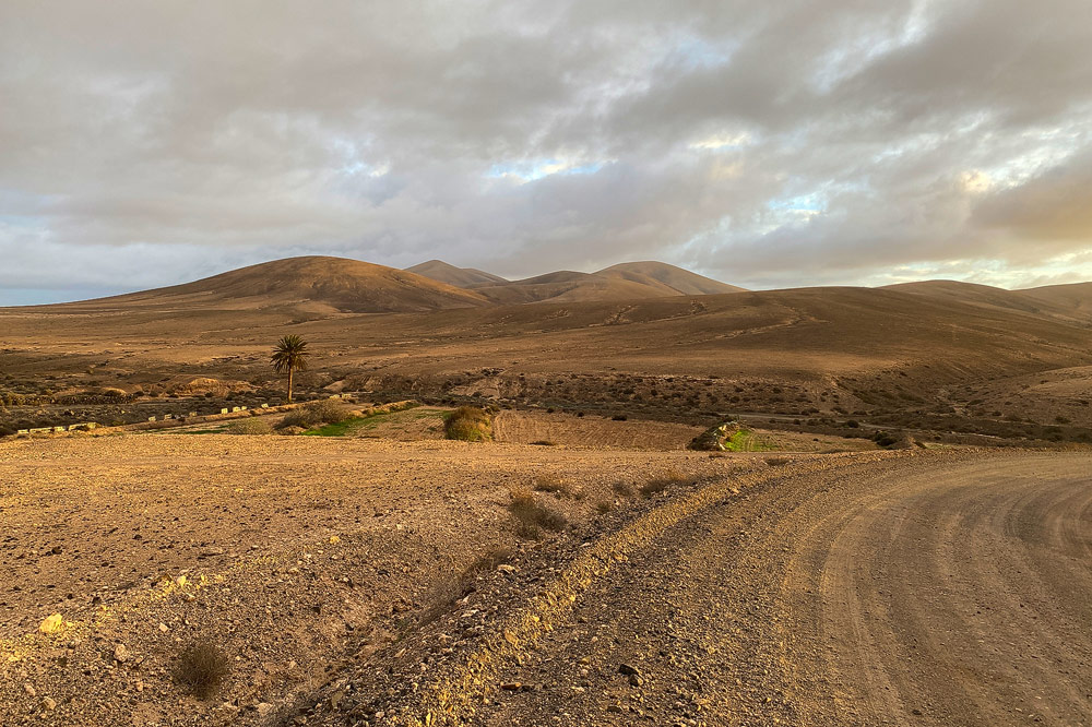
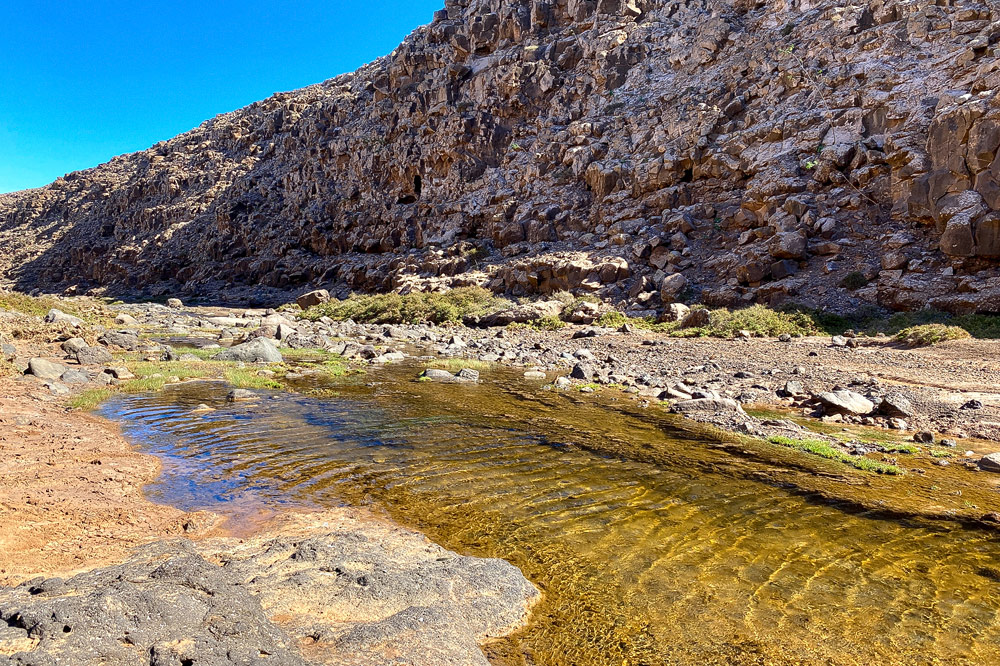
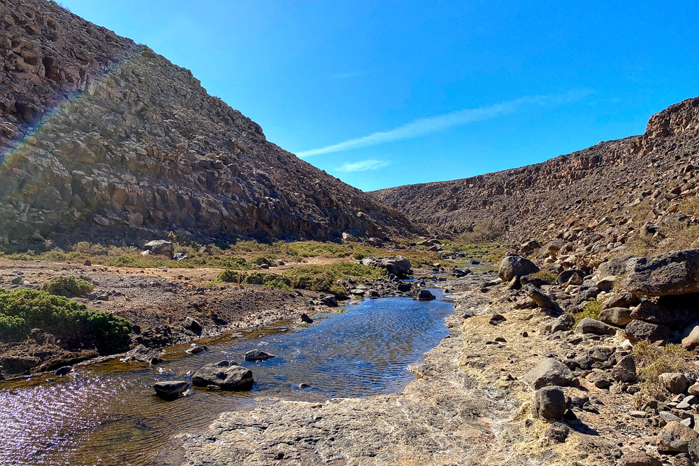
Barrancos are deep ravines of volcanic origin. The volcanoes on Fuerteventura, which have been inactive for thousands of years, created
numerous Barrancos in the past through their magma activity. Although most of the Bbarrancos have dried up, some still carry water. Whether you find water in these
ravines depends on the amount of rainfall and thus the season. These small water oases are visited by some bird species and are often used as a source of drinking water.
As an example of one of these *barrancos*, Ill describe the *Barranco* at Río Cabras, located about 3 km northwest (as the crow flies) of the airport
(
see map).
In my case, photographing birds in this *barranco* wasnt successful, but thats just a snapshot in time things may turn out better on another occasion.
(back to the top)

All the way in the south of Fuerteventura lies the town of Morro Jable (
see map),
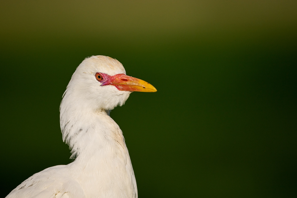
which offers another opportunity for bird photography. To be honest, this kind of wildlife photography has very little to do with a natural wildlife experience. Morro Jable
is a heavily frequented tourist destination, and some birds here have become so accustomed to people that they show virtually no fear of humans. You might come across several
Cattle Egrets on a traffic island, and if you want to avoid capturing the dense development in your photos, youre usually limited to taking portraits. In addition to the Cattle
Egrets, you may also encounter Hadada Ibises and Monk Parakeets. The Monk Parakeets typically only come down from the trees if theyre being fed which is why I dont have
any photos of them here ;-) .
(back to the top)
For bird photography on Fuerteventura, focal lengths of 600mm or more are definitely recommended. This is especially true for small songbirds as well as for Houbara Bustards,
which usually have a larger flight distance so you dont want to be working with too short a focal length. In addition to wildlife photography, the island's barren landscape
has its own unique appeal, making a wide-angle lens a clear recommendation for landscape photography as well.
(back to the top)
The Canary Islands offer a mild climate year-round and are therefore a very popular winter destination for many Western Europeans. Fuerteventura, in particular, receives
very little rainfall, and the frequent trade winds contribute to the islands desert-like character. Among birdwatchers, Fuerteventura is considered one of the most popular
islands in the Canaries though I cant personally judge that, as I havent visited the other islands in the archipelago. If you're looking to do bird photography in pleasant
temperatures during the winter months, Fuerteventura is just the place for you!
(back to the top)
Here you can download maps of the island of Fuerteventura. To view and print them, you will need an Acrobat Reader.
 map from Fuerteventura
written: june 2025, (author: Olaf Juergens)
 print version


