
Nature photography Teutoburg Forest
- Location and arrival
- The Battle of Teutoburg Forest
- The Furlbach valley
- The Moosheide
- The Silberbach valley
- Hünenburg Bielefeld
- Mushrooms in the Teutoburg Forest
- The equipment
- Conclusion
- Download maps Teutoburg Forest
Location and arrival
The Teutoburg Forest is a mountain range that stretches for about 100 km, starting in Höstel (west of Osnabrück) in Lower Saxony and extending to North Rhine-Westphalia, passing through my hometown of Bielefeld and into the district of Lippe towards Horn-Bad Meinberg. In Horn-Bad Meinberg, the southeastern part of the Teutoburg Forest, it borders the Egge Mountains, which continue further south.

(back to the top)
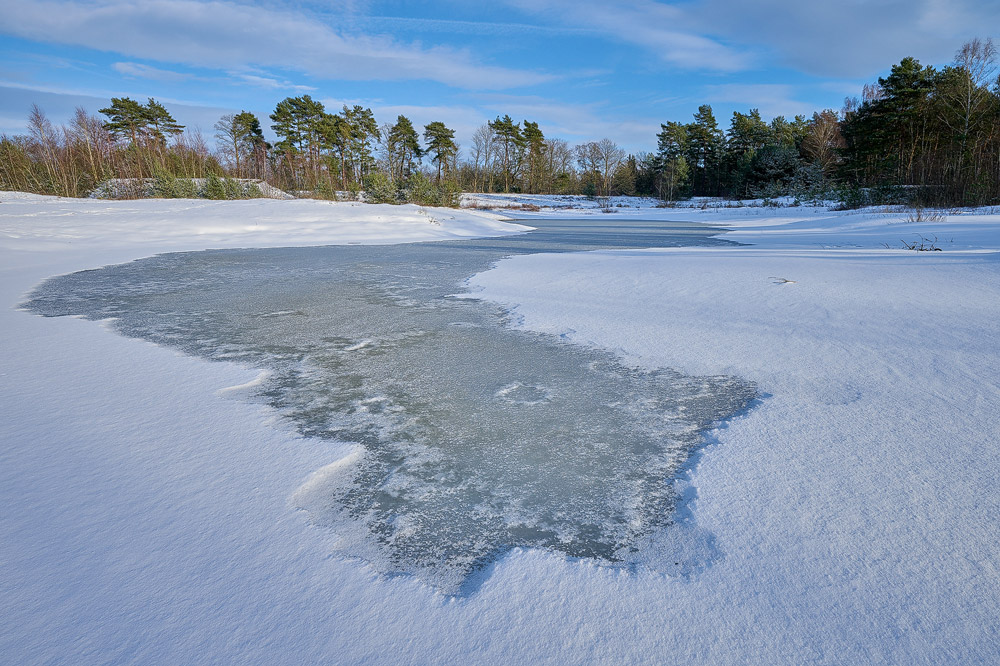
The Battle of Teutoburg Forest

Overall, the Teutoburg Forest offers many other varied sections, which are mainly characterized by different deciduous and coniferous trees. Although no special requirements are placed on visitors to the forest, the Teuto is located in a mountain range and therefore there may be some heights to overcome that require a little effort.
(back to the top)
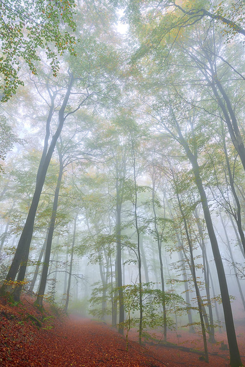
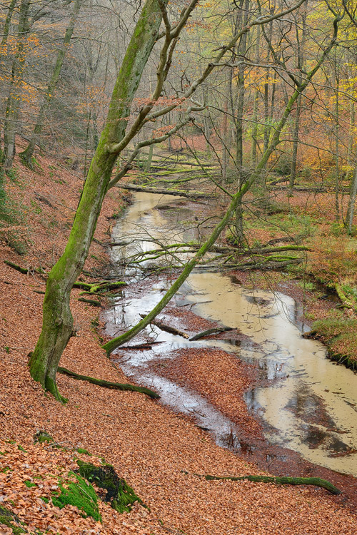
The Furlbach valley

The Furlbach, which winds its way through the valley for approximately 14.6 km, is a tributary of the Ems, which in turn originates nearby in the Senne. Upon encountering the creek for the first time, one will be amazed at how clear the water is in the shallow stream. This impression is further enhanced by looking at the clear bottom of the stream, which is made up of sandy substrate. The sand in the Senne is the result of the melting of a glacier approximately 200,000 years ago. At that time, the melting water carried large amounts of sand, which settled in the Senne, creating a very valuable habitat for flora and fauna. From a photographic perspective, the Furlbachtal offers many opportunities to showcase the stream amidst a mixed forest. At some points, one can take excellent photographs of the valley from above, while at other points, one can directly search for their motives by the creek. The flow rate of the creek is very low, giving the Furlbachtal a peaceful and tranquil atmosphere.
(back to the top)
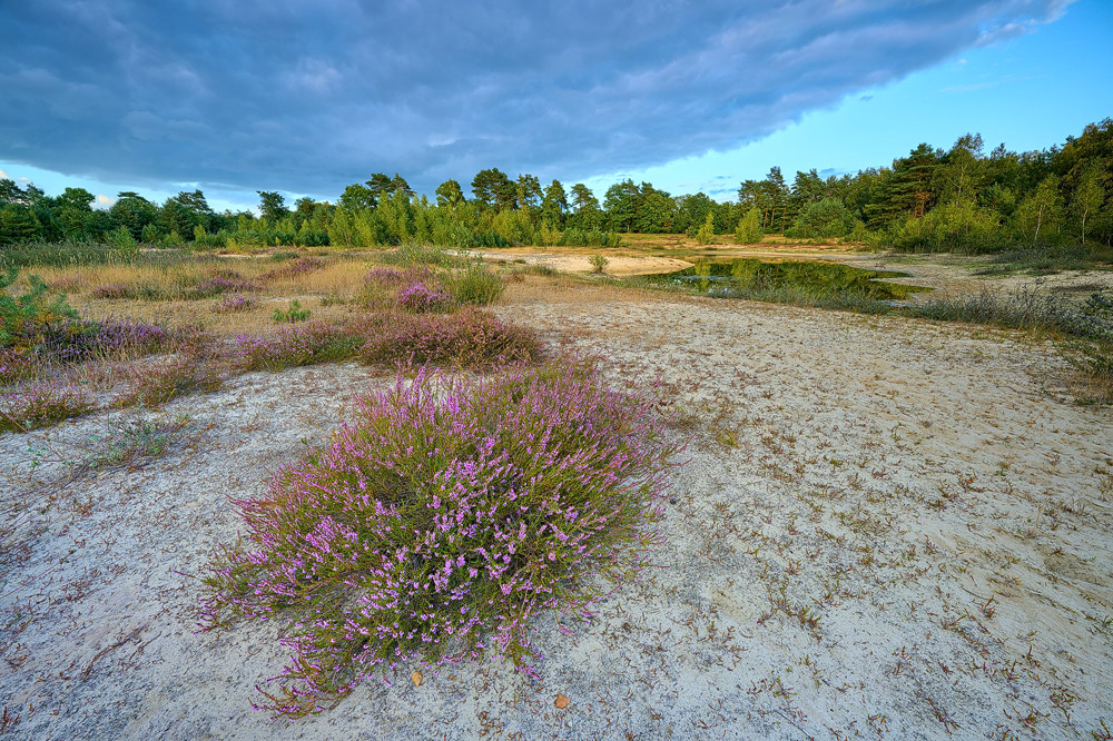
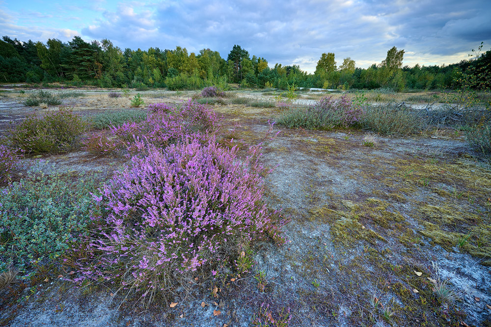
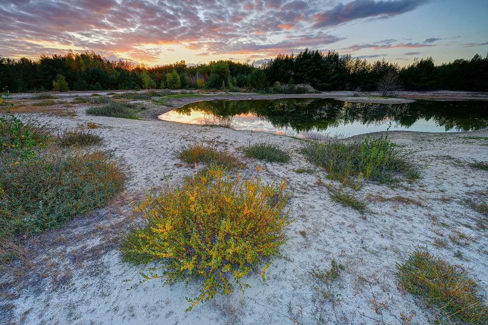
The Moosheide

To the east of the Moosheide is a military training ground that is off-limits to the public. The Moosheide mainly consists of low sand dunes, sparse pine forests, dry grasslands, and open heathlands. The protected habitat provides a home for many endangered plant and animal species. From a photographic perspective, there are opportunities to capture the heath landscape as well as close-up macro shots. Compared to the Furlbachtal, the Moosheide receives much higher foot traffic, so early morning hours are better for photography.
(back to the top)
The Silberbach valley

The Silver Creek, meandering through the valley, originates in the southern Veldrom and flows approximately 11 km northward, where it ends in Horn-Bad Meinberg. As a nature photographer, I find the section that starts at the inn and continues approximately 1 km southwards the most interesting. It is a relatively small section, but one can find many subjects that can keep them occupied along this stretch. The creek is characterized by more or less large boulders that offer a preview of the neighboring Egge Mountains and can be set together with the creek very well. A visit is worthwhile in every season, and it is interesting to observe how the Silver Creek Valley changes its character over the year. Starting from the inn, a 3 km long hiking trail leads northwest towards the Externsteinen, which also offer plenty of photographic opportunities.
(back to the top)
The Hünenburg Bielefeld

(back to the top)
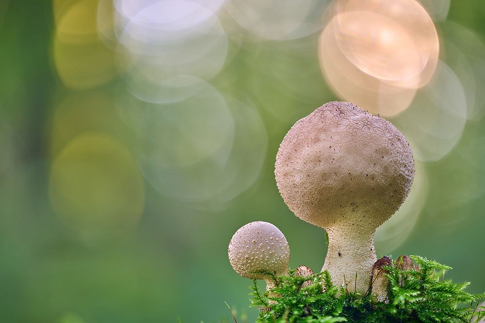
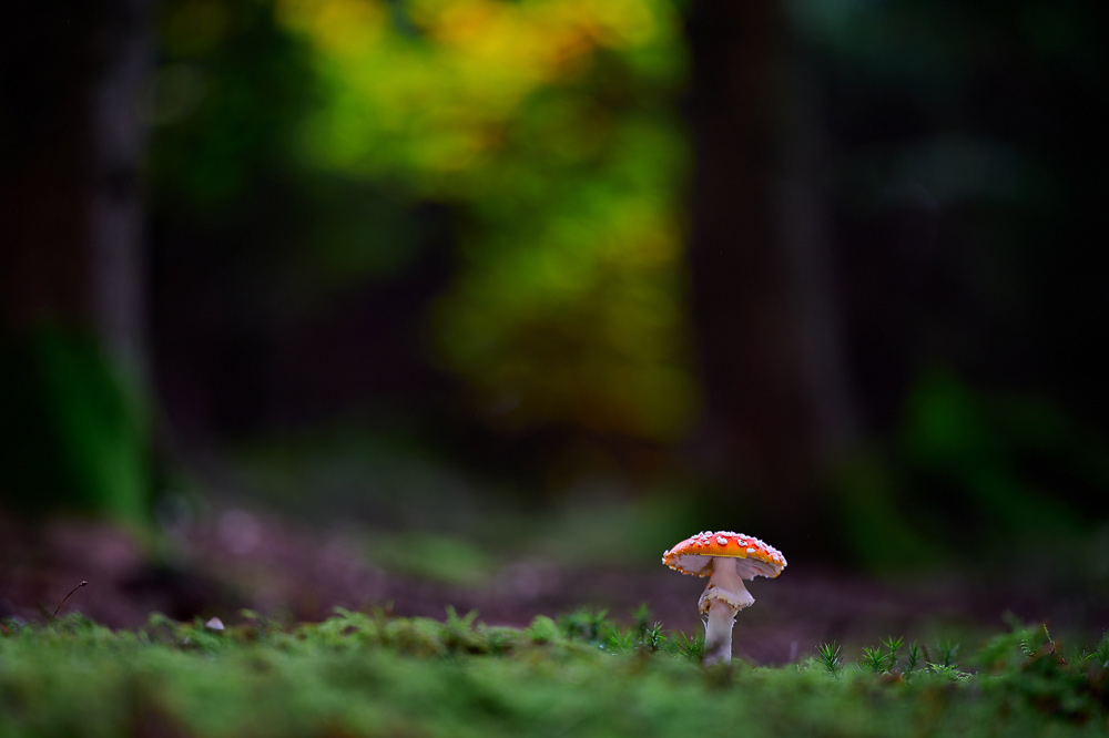
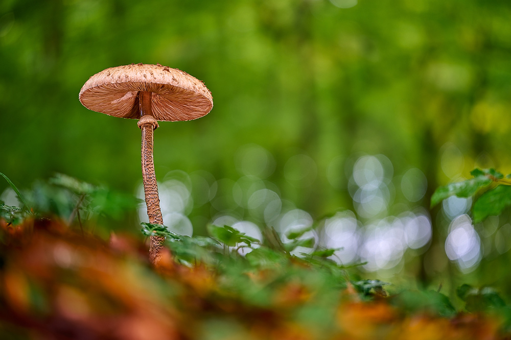
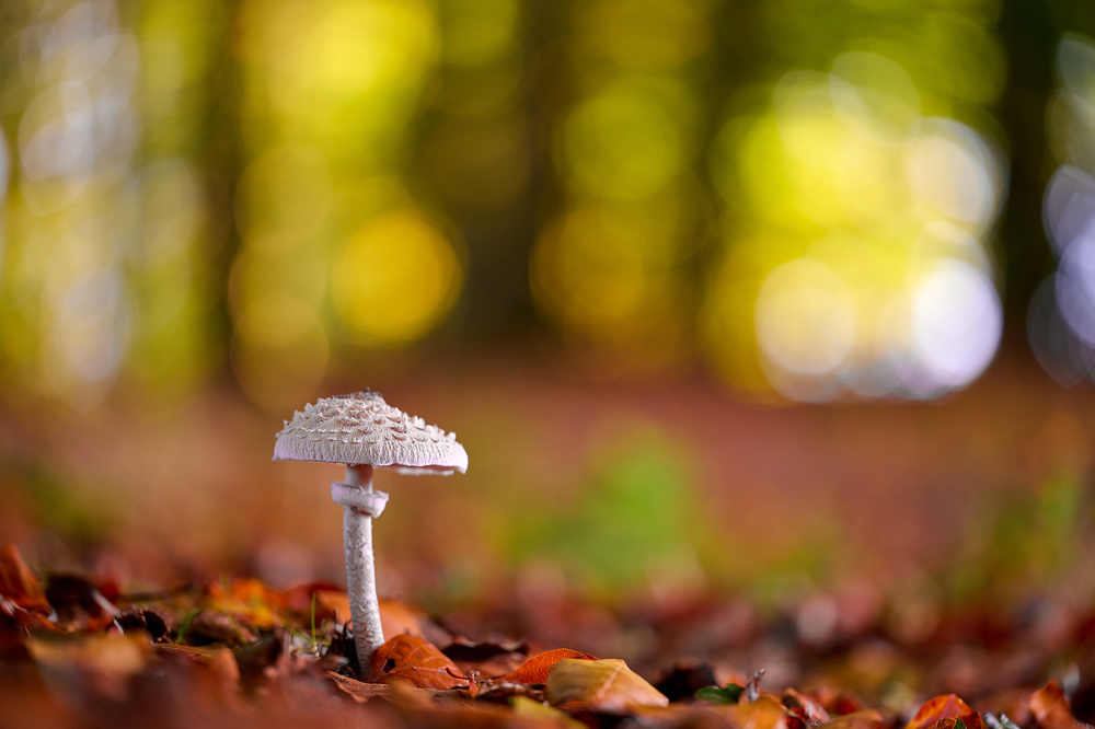
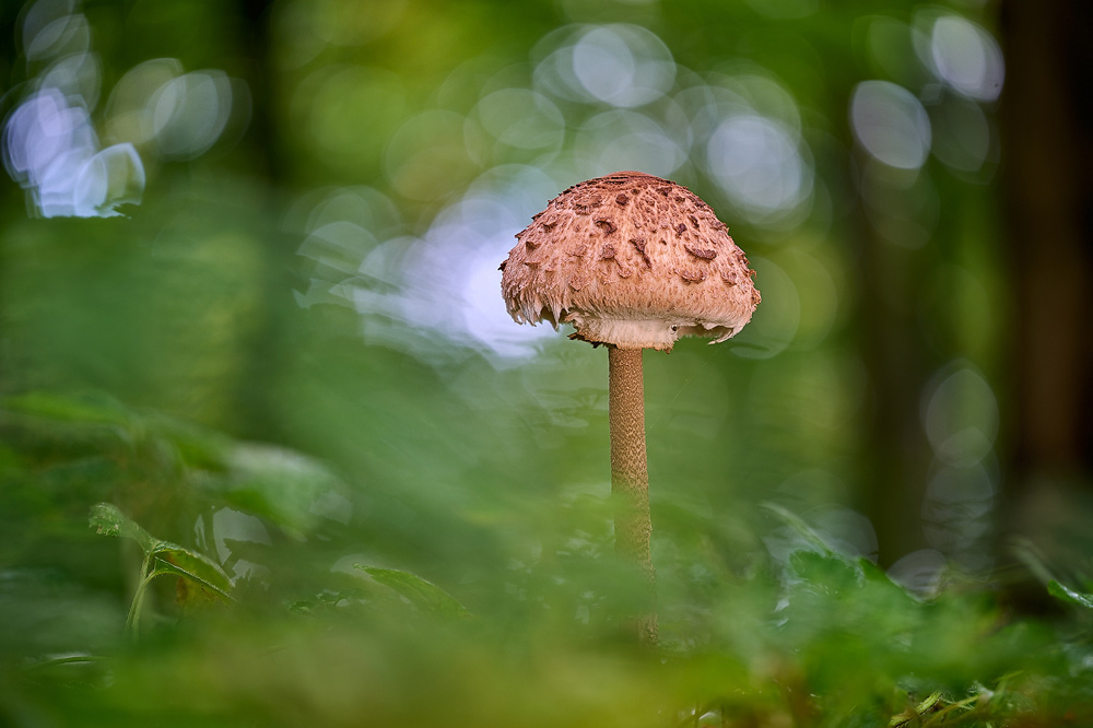
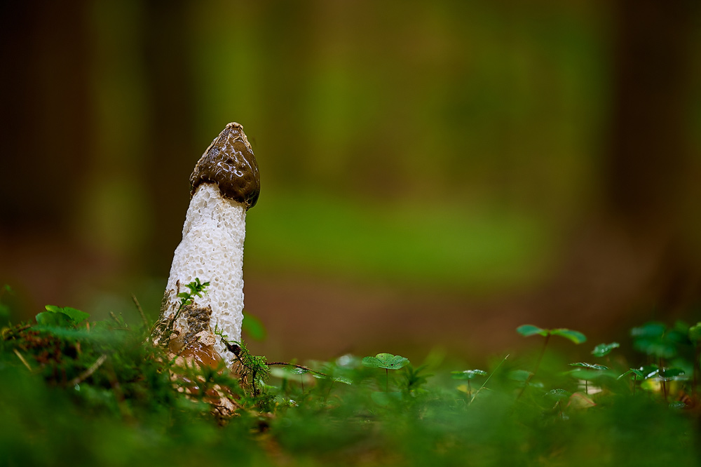
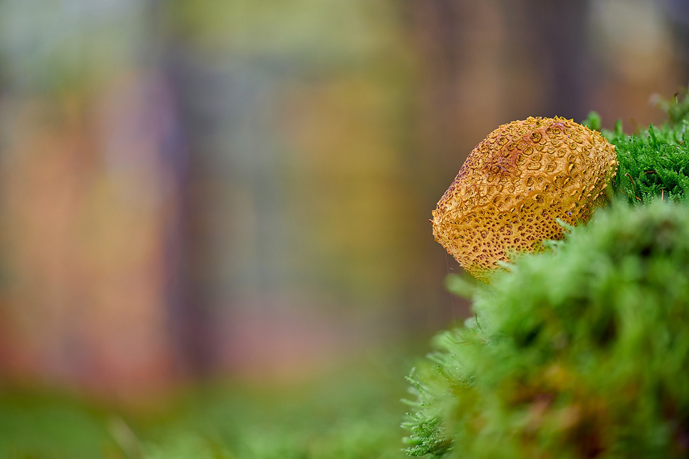
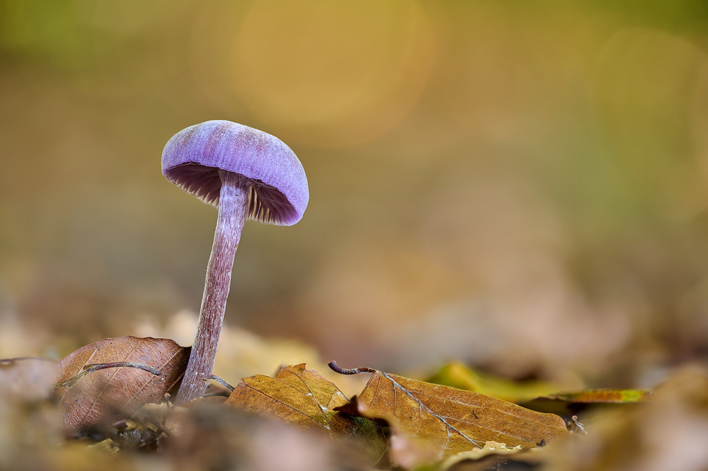
Mushrooms in the Teutoburg Forest

(back to the top)
The equipment
For my forest pictures, I usually use lenses ranging from wide-angle to medium telephoto lenses. A tripod should not be missing in any case, as the exposure times in the forest are usually very long and the tripod also helps with image composition. A polarizing filter is also useful, as it emphasizes the colors in the forest and helps to reduce disturbing reflections. Since close-up views in the forest also provide beautiful subjects, a macro lens should also be packed in the camera bag.
Conclusion
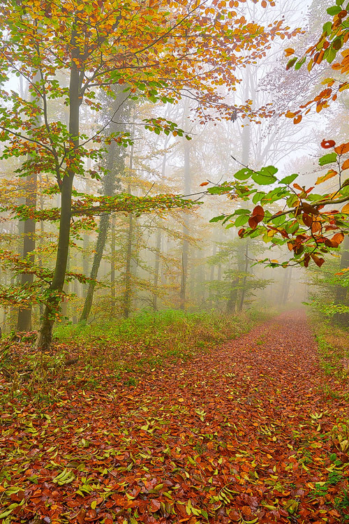
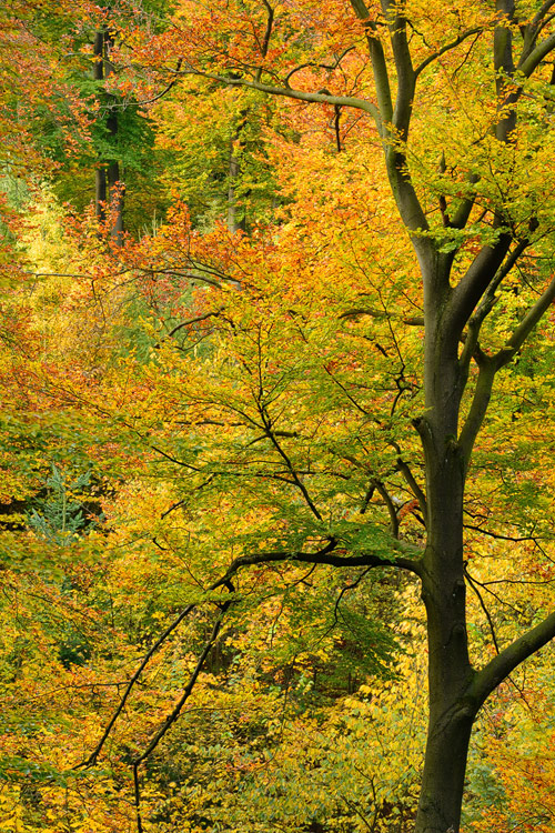
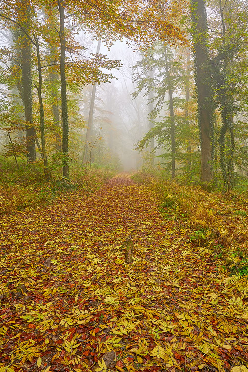
A visit to the forest is worthwhile at any time of the year, but for me, the most beautiful season for forest photos is definitely autumn! If you're lucky, you'll also
experience fog in the forest in autumn, which makes for particularly atmospheric shots. In sunny weather, due to the high contrasts, it is difficult to take photographs in
the forest and only the early morning or evening hours are suitable for photography. Otherwise, it is also particularly worthwhile to go to the forest on rainy days, as the
colors of the forest are very vivid and the contrasts are not so high in rainy weather.
(back to the top)
Download maps Teutoburg Forest
Here you can download maps of the Teutoburg Forest. To view and print them, you will need a PDF reader. I hope these maps will help you get a better orientation in the area around the Teutoburg Forest.

written: November 2012, (author: Olaf Juergens)
updated: November 2023
